Population
According to official Ottoman statistics, in 1914 the kaza’s overall population was 22,252; of these, 13,596 were Muslims, 4,358 Greek Orthodox Christians, 1,269 Armenians, 2,961 Jews, and 68 “others”.[1]
History
The region of Çanakkale came under the rule of Lydians in the 7th century B.C. Persian domination began in the region in the middle of the 6th century B.C. Dareios I and Xerxes, two of the important ancient Persian emperors, saw the region as a strategic point and aimed to keep it in their hands. According to the Greek historian Herodotus, it was Xerxes I who built the first bridge to cross the Dardanelles to Europe. As a result of the Peace between the Spartans and the Persians in 386 B.C., the Persians strengthened their dominance in the region. In 334 B.C., Macedonian King Alexander the Great wanted to take this region from the Persians. For this purpose, crossing the Dardanelles, the two armies encountered each other at the Kocabaş Stream (Granikos) near today’s Karabiga. Facing a great defeat, the Persians had to retreat from the region, leaving it under the rule of Alexander. However, upon the sudden death of Alexander, Antigonos I, one of his famous commanders, began to rule the region. Before he could rule for a long time, Galatians of Celtic origin, who came from the Balkans, settled in the region. After the Roman Empire was divided in 395 A.D., the region came under the rule of the Eastern Roman Empire. Emperor Justinian I had a castle built in Sestos, near modern Eceabat, in order to control the strait.
The first Turkish domination in the region started with the expeditions of the famous naval commander Çaka Bey (Gr.: Tzachas) at the end of the 11th century. Afterwards, the Turkish domination continued with the Karesi Principality, and with the annexation of the principality to the Ottoman Empire without a war in 1361.
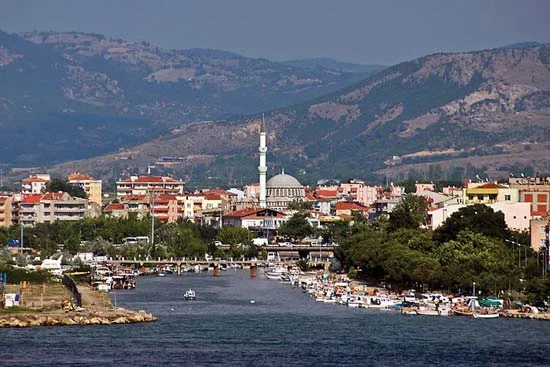
Town of Çanakkale / Δαρδανέλλια – Dardanellia
The town and seaport is located on the southern coast of the Dardanelles at their narrowest point. Originally a 15th-century Ottoman fortress called Kale-i Sultaniye, it had by the 18th century developed a reputation for its pottery. The pottery industry reached its peak in the 18th and 19th centuries and has now declined, but the city has become one of the chief centers of the Turkish fish-canning industry. It is connected by steamer service with Istanbul.
Because of its location controlling the Dardanelles (Trk.: Çanakkale Boğazı), less than 1.6 km wide at that point, Çanakkale has always been strategically important.
Toponym
Çanakkale is the name for a site earlier known as Kale-i-Sultaniye (Fortress of the Sultan), which was adopted as the official term for the town in 1890. From the late 17th century it also became known for its fine-glazed pottery, Çanakkale ceramics, compared by one traveler to Delftware, hence the later name Çanak kalesi (‘pot fortress’). The Greek-Byzantine name for Çanakkale was Dardanellia, from which the English name Dardanelles is derived.
Population
In 1890, out of a population of 10,862, 3,551 were Muslims, 2,577 Orthodox Greeks, 1,805 Jews, 956 Armenians and 2,173 assorted foreigners.[2]
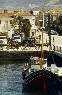
From the Renaissance period onwards, after their expulsion from Spain, Jewish refugees settled in Çanakkale and formed a sizeable community which thrived by supplying Mediterranean shipping in the region with provisions and acting as consular agents for many European nations. Down to the late 19th century they retained Spanish as a mother-tongue.
“This port, long simply a fortress defending the entry to the Sea of Marmara, had gradually grown in size and importance, attracting artisans and merchants who had come from Persia in the first half of the sixteenth century.”[3]
History
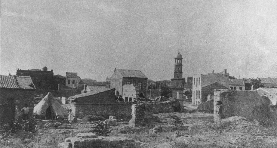
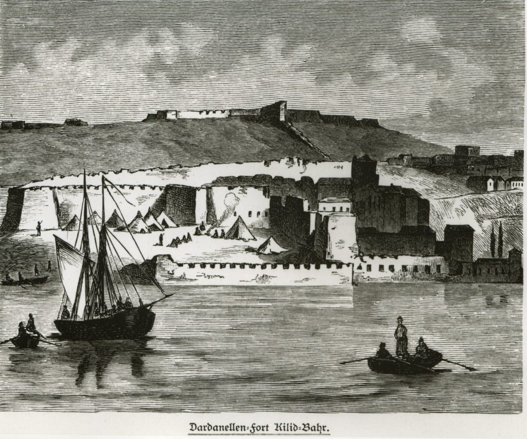
Çanakkale was built as a fortress in 1462 by Mehmed II Fatih, who gave it the name Kale-I Sultaniye, since one of the Sultan’s sons had collaborated in its construction. Sited on a bay at the narrowest point of the strait, it, together with another nearby fort, Kilit Bahr, provided an excellent position for controlling traffic through the Dardanelles. The two forts were quickly called in the travel literature “The Castles”, and a town developed to the north-east, settled by Armenian refugees and Spanish Jews.
In 1915, during the First World War, British Empire and France attempted to secure the waterway through the Straits and ultimately capture Constantinople. Known as The Gallipoli Campaign, or the Dardanelles Campaign, in Turkey it is referred to as the Battle of Çanakkale (Trk.: Çanakkale Savaşı), during March 1915 when the Royal Navy failed to force the Dardanelles and suffered severe losses. During a series of operations, HMS Triumph, HMS Ocean, HMS Goliath, HMS Irresistible and the French battleship Bouvet were all sunk. The French submarine Q84 Joule and the Australian submarine AE2 were also destroyed and several other important ships were crippled too. Most of the damage was inflicted by mines, though a German U-Boat and Turkish small craft contributed too.