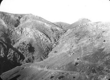
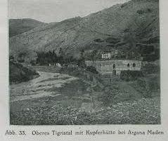
“Lying on the southern slopes of the Taurus mountains and traversed by the eastern branch of the Euphrates (Murad Su) in the north and containing the source of the Tigris in the east, the region was well suited to agriculture and animal husbandry. Copper mines were also in operation there.”[1]
Administratively the sancak Argana consisted of the three kazas Arg(h)ana Maden (Arm.: Arġanameden -Արղանամեդեն), Palu (Arm.: Balu – Բալու) and Çermik (Chermig; Arm.: Jermuk – Ջերմուկ; Chermug).
Toponym
Arg(h)ana was first mentioned as Arkni/Argni as it was called by the Armenians. This toponym transformed into Arghni or Arghana (Ottoman Turkish: عثمانيه Osmaniye, Kurdish: Erxenî), as it was formerly known. The Turkish part of the place-name ‘maden’ indicates the importance of the region for mining.
History
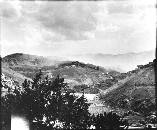
Argana has a rich history as a mining region. “The Armenians cooperated with the Ottoman Government in mining and iron work. At Maden (Ergani Maden) the Ignatiosian family were engaged in copper mining (…).“(2) Trade has flourished between Argana and Mesopotamia during the third millennium B.C. The mines of the region used to ship copper to the early settlements at Uruk of southern Iraq. The Euphrates river connected Argana and Uruk. Vessels of the day could easily float several tons of copper downstream to Uruk in a few weeks, the transport of hundreds of tons of grain back to Anatolia was challenging. Later Mesopotamian civilizations took advantage of the more favorably placed Persian Gulf mineral resources.
Population
The sancak had an Armenian population of 38,430, living in some 50 towns and villages; 3,300 of the Armenian residents lived in the little town of Argana Maden, the administrative seat of the sancak.[3]